In November 2019, Adina Racoviteanu, IGCP project leader, joined by Neil Glasser (Aberystwyth University) and Stephan Harrison (Univ. Exeter) set out with a group of seven Masters students and young researchers from several institutions in Nepal and Sikkim to survey Ponkar glacier in the Manaslu region of Nepal.
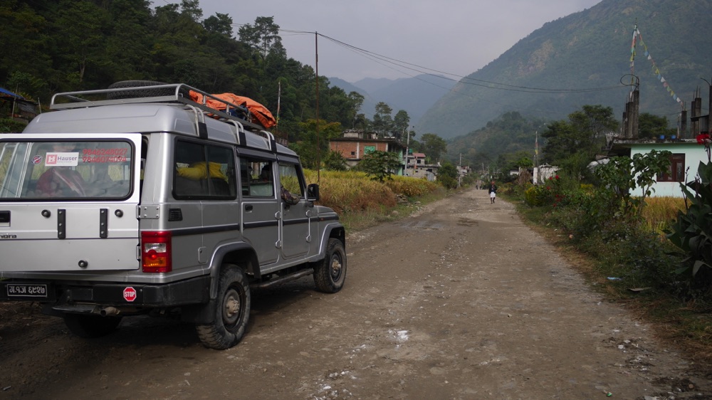
The glacier had been previously surveyed by ICIMOD and Kathmandu University since 2016. It took 2 days by bus and jeep and 3 days walk to reach Bhimthang at 3,700 m at the side of Ponkar glacier.

previous survey conducted by ICIMOD Nepal

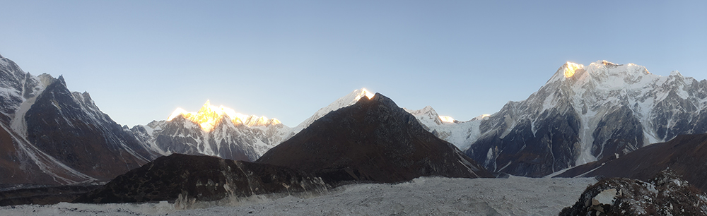
Mid part of Ponkar glacier seen from the moraine at sunrise
Remote sensing – GIS module
After a 2-day bus and jeep ride and one-day walk, on the morning of day 2 of the trek, Adina Racoviteanu led a remote sensing and GIS session using Sentinel, Landsat to obtain preliminary map of the debris covered Ponkar glacier. Neil Glasser worked with students using Planet imagery to map moraines which could be surveyed in the field. Other students worked on a manually digitised map of Ponkar based on visual interpretation.

Remote sensing module at Gowa village, 2350 m
Water temperature measurements
Students learned how to use TinyTag temperature probes to measure water temperatures at the stream near the lodges. Three probes where subsequently left on various types of surfaces inside the glacier for 24 hours to record temperature fluctuations.

Measuring water temperature
Sediment logging
We chose an area close to the lodges to practice sediment logging. Students sampled sets of 50 rocks from the river channel and recorded rock orientation and approximate dimensions. The experiment was then repeated inside the glacier on various slopes and the results were plotted on a chart at the end of the trip.

Measuring rocks from the river bed. At 4 pm, it was getting very cold!

Inside the glacier
Spectral measurements
Inside the glacier, we took spectral measurements of various types of surfaces such as fine light debris, green vegetation, dry vegetation, water, with the goal of using these for spectral unmixing of satellite imagery.

Setting up the Stellarnet mini spectrometer. Nice sunny day for it!
Drone survey
GLOF assessments
On a side trip to the Annapurna conservation area, we surveyed the Gangapurna Lake above the village of Manang (3400 m) to assess any potential for hazards such as a glacier lake outburst flood using remote sensing imagery as well as field observations.

Gangapurna lake above the village of Manang
We reached Kathmandu safe and sound on Nov 16th after 2 days of rough jeep and bus travel back from Manang.
Thanks to all participants for their enthusiasm and good spirits!
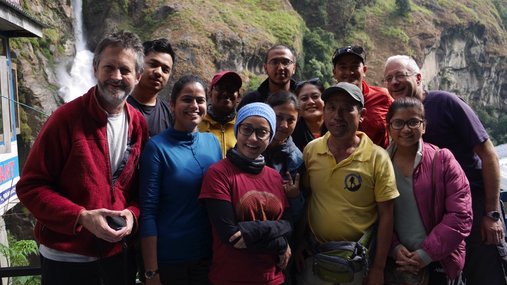
from left to right: Stephan Harrison (Univ Exeter), Rohit Sthapit (Airlift Nepal), Rajeev Rajak (Sikkim University, India), Praveen Lamsal (Drone Nepal), Rakesh Kayastha (Kathmandu University), Neil Glasser (Aberystwyth University), Amrita Singh (Sikkim University, India), Maria Maharjan (Kathmandu University, Nepal), Sunwi Maskey (Kathmandu University, Nepal), Smriti Basnett (IGCP Asian co-leader, IISc India), Shankar (our guide, Himalayan Research Expeditions), Smriti Katwal (Kathamndu University, Nepal)
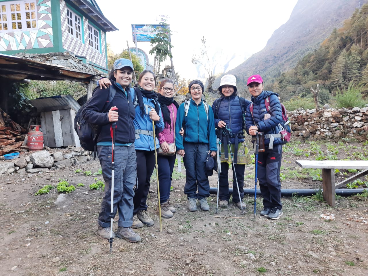
The IGCP 672 girls team! From left to right: Amrita Singh, Sunwi Maskey, Smriti Katwal, Smriti Basnett (IGCP Asian co-leader), Adina Racoviteanu (IGCP leader), Maria Maharjan