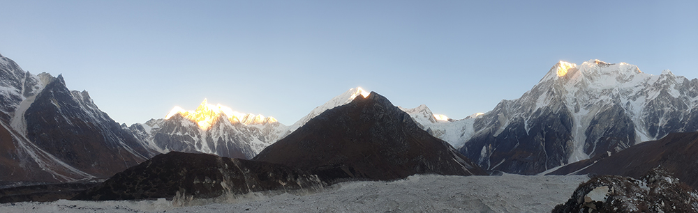
GOAL: This 5-day IGCP workshop focused on remote sensing and GIS techniques for glacier lake hazard estimates with a focus on Nepal. It is the first in a series aimed at establishing a standardised protocol for glacier lake mapping and glacier-related hazard estimates across the Eastern Himalaya. This main workshop focused on data availability and techniques for glacier and lake mapping in Nepal. Overall the purpose of this first workshop was to compile the existing Himalayan data (remote sensing and field data) at the regional scale, and review pre-processing steps and existing glacier hazard ranking schemes.
FUNDING: This This program was co-organized with the Himalayan Cryosphere, Climate and Disaster Research Center (HiCCDRC) at Kathmandu University and facilitated by Dr. Adina Racoviteanu.
WORKSHOP CIRCULAR can be found here: IGCP672_First_circular_IGCP672_glacier_hazards_Nepal_Nov2018_sm
WORKSHOP TOPICS (tutorials):
- Overview of existing hazard ranking schemes (Nepal, Bhutan, Sikkim)
- Fundamentals of GIS and remote sensing (Introduction to ArcGIS, searching and ordering for data, Image pre-processing steps
- Glacier and lake delineation from satellite data (multi-temporal)
- Debris-cover mapping techniques
- Decadal change detection from remote sensing and uncertainty estimates
- Topographic analysis using digital elevation analysis
- Downscaling climate data
- Socio-economic data sources (fuzzy cognitive mapping)
- Glacier hazard ranking
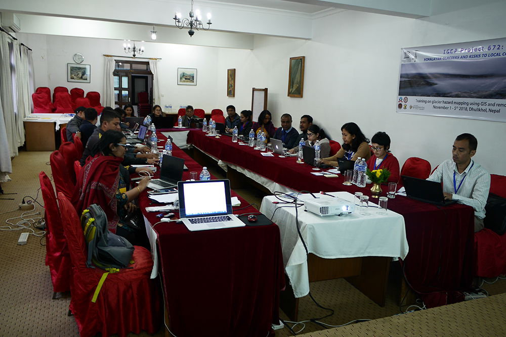 The workshop brought together 23 participants from Kathmandu University, Tribhuvan University and ICIMOD. The workshop was entirely hands-on and was designed to be interactive; the training was conducted in ArcGIS but the tools can be adapted to open source software such as QGIS.