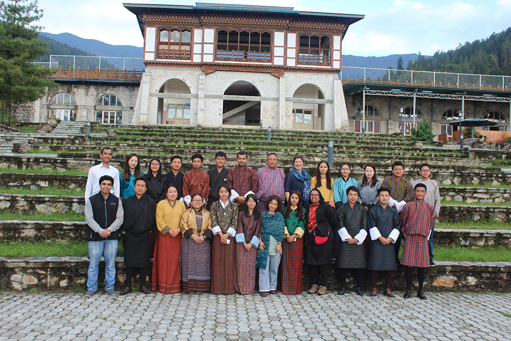
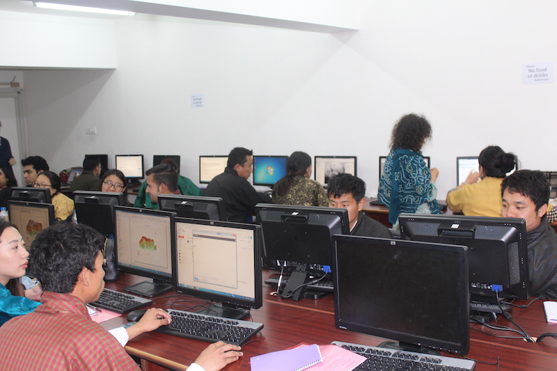
 This two-day workshop, co-sponsored by the IGCP 672 project and the USAID-funded CHARIS project at University of Colorado provided training on fundamentals of GIS and remote sensing for a variety of geoscience applications. The topics included introduction to ArcGIS software, fundamentals of remote sensing, searching and ordering data from various platforms, image pre-processing and glacier mapping using Landsat satellite images of Bhutan and importing MODIS data. The workshop participants were from RTC as well as other Bhutanese institutions, with a total of 23 participants (11 female and 12 male) representing eight different agencies, namely Private Consultancy firm, National Land Commission, Samtse College of Education, National Center for Hydrology and Metereology, Jigme Namgyel Engineering College, Royal Thimphu College, Sherubtse College, including two external participants (IGCP project collaborators) from Delhi Technological University and Indian Institute of Technology (IIT), Indore, India.
Remote sensing modules:
Basics of remote sensing for geoscience applications
Searching and ordering satellite images
Image pre-processing steps
Image classification techniques
GIS modules:
Introduction to ArcGIS
Use of digital elevation models
Combining DEMS with satellite images
Hydrologic modeling
Optimal site location
A full workshop circular can he found here: RTC_Workshop_Circular_v1_May10th